

ADD SOME FUN.
This alternate approach adds about an hour to the route, for small groups. While the route is fairly straightforward, the rappels themselves have awkward starts and are not suitable for beginners.
Russell Gulch requires an additional permit to your Subway permit, has a group size limit of 6 and a daily quota of 12.

Canyon Profile
Logistics

RATINGS
3BIII ★★★★☆

TIME REQUIRED
7 to 12 hours including The Subway

PERMIT
YES - Separate permits are required for The Subway and Russell Gulch.

SEASON
Summer or fall

LONGEST RAPPEL
100 feet (30 m)

SKILLS REQUIRED
Careful navigation, good rappelling skills
Equipment

ESSENTIALS
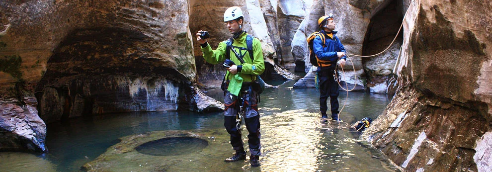
Helmets, rappelling gear, webbing and rapid links.

COLD WATER PROTECTION
Wetsuits or drysuits in all but the hottest weather. Drybags for your gear.

DRINKING WATER
Clear spring water available to filter once in the main Left Fork drainage.

FLASH FLOOD RISK
Moderate - there are only a few sections of sustained narrows.

ACCESS
If continuing through The Subway, requires car spot, shuttle service or short hitchhike.

Getting there
Overview
Russell Gulch is a variation that branches off the normal Subway approach before getting to the slickrock pass. It ends where Russell enters the Left Fork, just past where the normal approach descends a steep, sandy gully. Driving and most of the approach hike are the same as for The Subway from the Top – please refer to that description.
The Approach
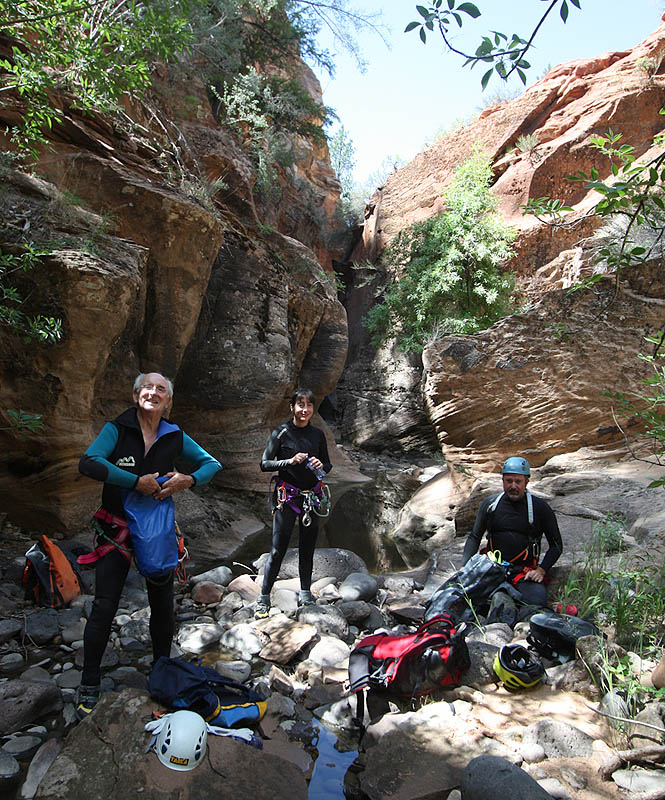
Follow the normal approach to the Subway to where it crosses Russell Gulch. Don't cross. Instead, traverse right (west) across the top of slabs, then down slickrock shelves and slabs to the canyon bottom. Find the path of minimum impact--stay on the slickrock as much as possible. Generally, the further you traverse to the right, the easier it is.
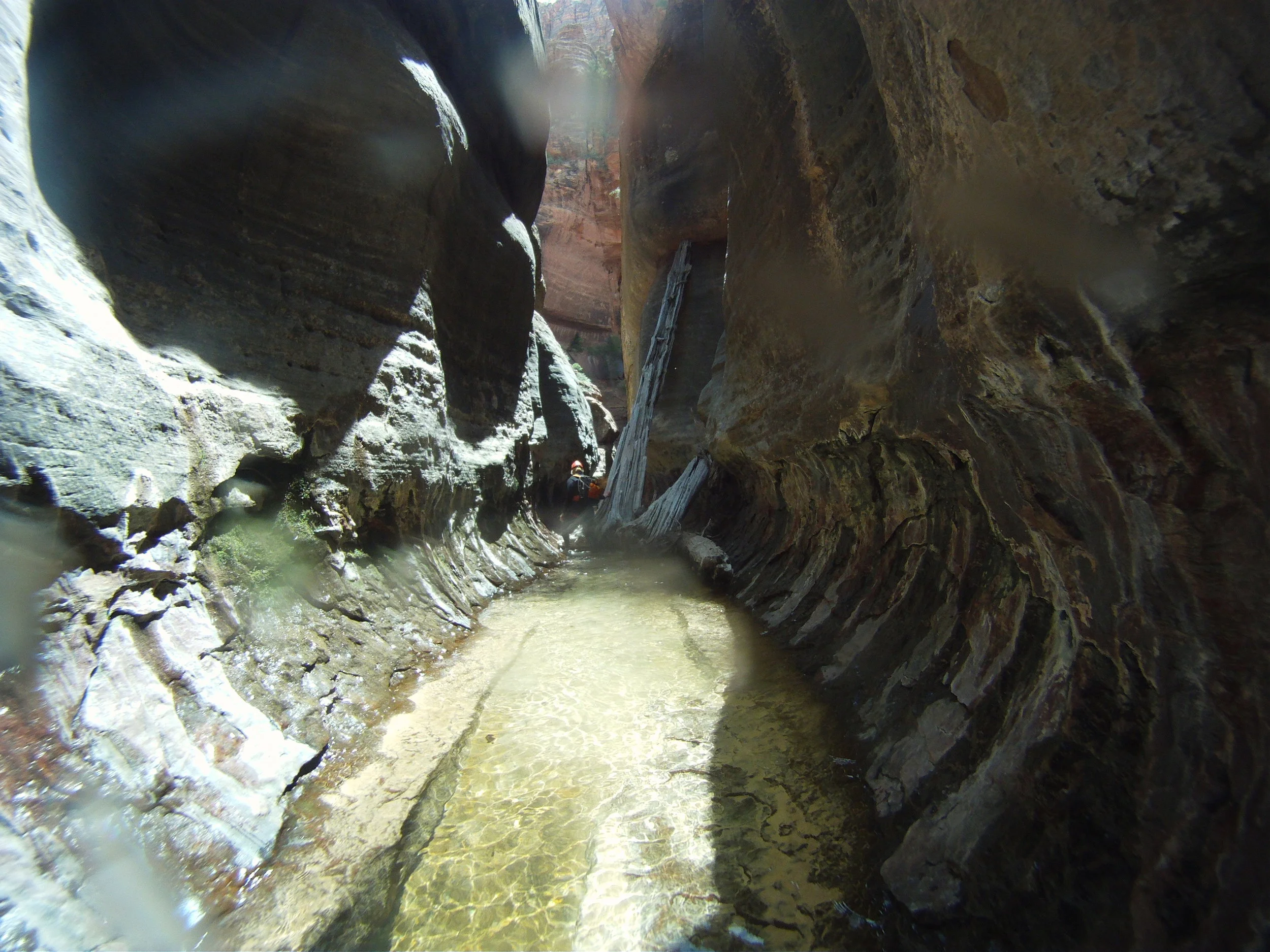
The Business
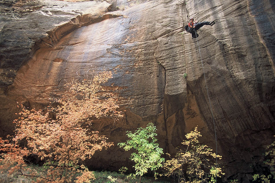
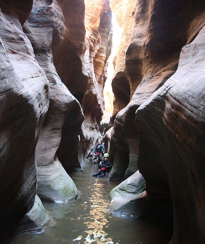
Traipse down Russell Gulch, occasionally wading through knee deep pools or scrambling over logs and rocks. The first rappel is soon found--100 feet (30 m) over a pothole and to the edge of a pool. Expect wading up to waist deep in all these pools. However, canyons have been known to change from time to time, so the rappels very well could end in swims.
All rappels in this canyon are bolted.
Continue downcanyon. A second rappel of 100 feet (30 m) is made down a steep wall and into a shallow pool.
Continue downcanyon. A third rappel may require some effort to get to. Steep slabs can be downclimbed on canyon left, or a short, dirty rap made from a large tree. Rappel the overhang to the slab below, about 100 feet (30 m).
Continue downcanyon. The last drop ends in a large pool near the confluence of Russell Gulch and the Left Fork. There is no convenient anchor, and the pool is often a skanky swimmer, so it is rarely done. From the top of the drop, follow a small trail up and left through the woods that leads to the bottom of the steep, sandy gully that is the normal Subway approach. Descend to the canyon floor, and continue down The Subway.

The Exit
If exiting before The Subway, find The Subway approach trail as it descends on the right side. Follow the trail (well-cairned) back to the Northgate Peaks trail and the Wildcat Canyon trailhead. It is steeply uphill, and longer than you might expect.
If continuing through The Subway, use the canyon description for The Subway from the Top.
Trip Reports
Maps
Click for higher resolution
Click for higher resolution.


Zion's Subway is a wonderful, beautiful canyon, enjoyed by many people in several different ways. I made a run through on a recent weekend to re-locate the first anchor, bolted this spring but not in the best place (from my point of view).